
RIVER STOP · THAKHEK
Tha Falang
Tha Falang Tha Fa Lang Wang Sikharm
Tha Falang is the river pause inside Cave Alley: a clear stretch of the Nam Don where shade, swimming and a slower hour break up the sequence of limestone caves east of Thakhek.
- 01 Leave Thakhek on Route 12
- 02 Turn toward the Nam Don riverbank
- 03 Read the water before swimming
- 04 Stay long enough for the road day to slow down
Do not turn Tha Falang into another checkpoint. It works best as the place where you stop riding, cool down and let the river interrupt the cave itinerary.

FIELD NOTES
THE QUICK READ
Tha Falang / Laos
TIME
1 TO 2 HOURS
easy to shorten or linger longer
ROUTE
ROUTE 12
about 15 km east of Thakhek
BUDGET
CURRENTLY FREE
river access · food and local services extra
BEST FOR
SWIM AND RESET
clear river · shade · break between caves
THE PAUSE
The river breaks up Cave Alley
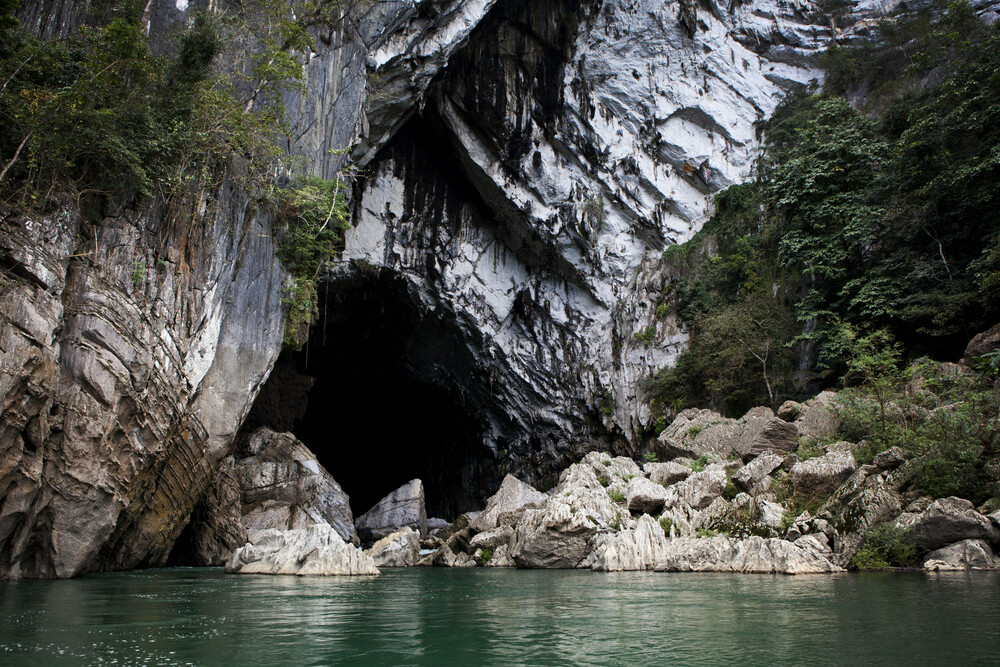
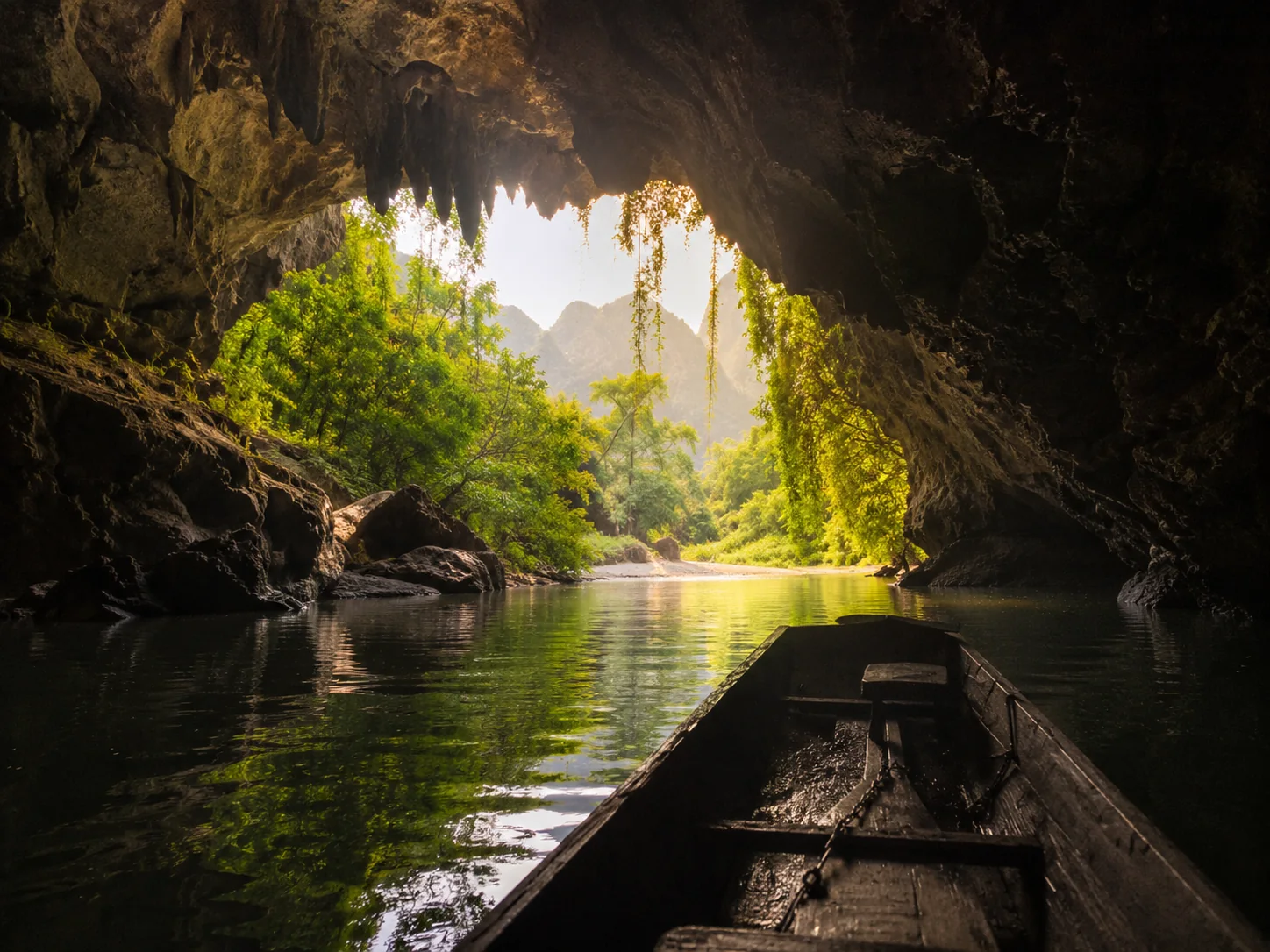
Route 12 east of Thakhek can become a sequence of cave entrances, parking stops and short rides between limestone walls. Tha Falang works because it changes that rhythm. The official Thakhek Loop still lists it among the first day highlights, but there is no chamber to explore here. The Nam Don opens into a clear river stop where the useful plan is much simpler: park, find shade, look at the water and stop moving for a while. In a day built around caves, that contrast is the attraction.
THE NAME
A river stop with a colonial echo
Current local and travel accounts connect the name Tha Falang with French colonial era use of this stretch of river for bathing and picnics. The common interpretation is a landing or stopping place associated with foreigners. Whatever the exact origin of the name, the modern experience is not a colonial relic. Lao families, travellers and local businesses now share the riverbank, especially on busy weekends. The old name survives, but the place works because it remains a living swimming and leisure spot rather than a historical monument.

QUESTIONS BEFORE GOING
Tha Falang,without the guesswork
Five things worth clearing up before you go.
Where is Tha Falang from Thakhek?
Current Thakhek guidance places Tha Falang about fifteen kilometres east of town along Route 12. The final approach uses a short local sandy or dirt track toward the Nam Don riverbank.
Can you swim at Tha Falang?
Yes when the river conditions are suitable. Tha Falang is a known swimming place, but rainfall and water level change the current. Enter gradually, stay close to the bank and skip swimming when recent rain or local advice makes the water questionable.
Does Tha Falang have an entrance fee?
A current local operator reports free river access. Food, drinks and resort or hut services are separate, and arrangements can change, so carry small cash and follow the current local setup.
How long should you spend at Tha Falang?
Allow about one to two hours. That is enough for a swim, rest and drink, while a longer stop works when you deliberately want to break up a full Cave Alley day.
What does the name Tha Falang mean?
Local and travel accounts commonly connect the name with French colonial era use of the river and interpret it as a landing or stopping place associated with foreigners. Treat that as the local historical tradition behind the name rather than as a precisely documented origin story.
PLAN YOUR VISIT
Tha Falang,at a glance
The practical details worth keeping close before you go.
From Thakhek
About 15 km east on Route 12
Current Thakhek guidance places Tha Falang roughly fifteen kilometres east of town. The final approach leaves Route 12 for a short sandy or dirt track toward the Nam Don riverbank, so follow current local signs and slow down on the last section.
Time needed
1 to 2 hours
An hour is enough for a swim and rest. Stay longer if the water is suitable, you stop for food or you are deliberately using Tha Falang as the slow break in a Cave Alley day.
Cost
River access currently reported free
A current local operator describes entrance as free. Food, drinks and any resort or hut service are separate, and local arrangements can change, so carry small cash and follow the current setup on arrival.
Swimming
Condition dependent
Tha Falang is a known swimming place, but rainfall and river level change the current. Enter gradually, stay close to the bank and skip swimming when recent rain, visible flow or local advice makes the water questionable.
Best time
Dry season · weekdays for quieter banks
The drier months generally make the final track and river access easier. Weekends can be lively with local visitors, so a weekday suits travellers looking for a calmer stop.
Bring
Swimwear · towel · water · secure valuables
Keep your phone, wallet and motorbike key secure while you are in the river. After rain, take extra care on the access track and avoid blind jumps into water whose depth you cannot clearly read.
KEEP IT IN YOUR ATLAS
Save Tha Falang for the road.
Keep this field note close. Add it to My Atlas now, or open the map when you are ready to work out the route.

Keep exploring Thakhek.






Field note method. Wikipedia is used as a research starting point for history and geography when a relevant article exists. Facts are checked against official, local or specialist sources where possible. Independent travel blogs and field reports are used to identify practical questions, recurring observations and traveller perspective; their wording is not copied.
Sources & photo licences
Research sources
Photo licences
- Aleksey Gnilenkov · CC BY 2.0 ↗
- Wikimedia Commons · See Wikimedia Commons file page ↗
- Phó Nháy · Public domain ↗
- Busy · CC BY-SA 3.0 ↗
- GIZ ProFEB / Lucas Wahl · Attribution · NoDerivatives ↗
- User-supplied photo · User-supplied
- User-supplied photo · User-supplied
- User-supplied photo · User-supplied
- Aleksey Gnilenkov · CC BY 2.0 ↗
- chalongrat hantragul · CC BY 3.0 ↗
- Adriaan Castermans · See Wikimedia Commons file page ↗
- Aleksey Gnilenkov · CC BY 2.0 ↗
- User-supplied photo · User-supplied
- User-supplied photo · User-supplied
- User-supplied photo · User-supplied
- BacLuong · CC BY-SA 4.0 ↗
- Tango7174 · CC BY-SA 4.0 ↗
- GIZ ProFEB · Nomination File · Attribution · NoDerivatives ↗