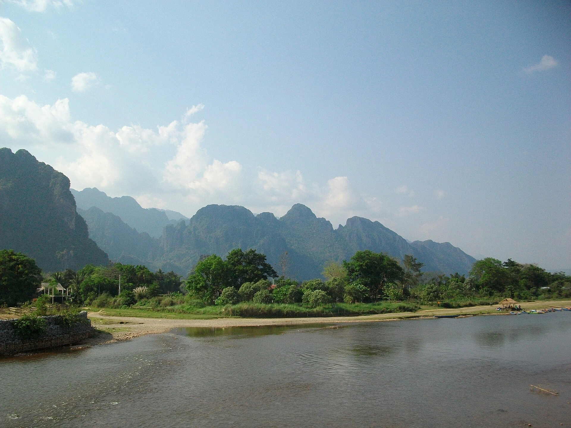





17 activities in Vang Vieng
Nam Xay Viewpoint
Viewpoint linked to a stay in Vang Vieng's karst and Nam Song landscape.
Tham Khan Cave
Cave linked to a stay in Vang Vieng's karst and Nam Song landscape.

Tham Phu Kham and Blue Lagoon 1
Cave and lagoon linked to a stay in Vang Vieng's karst and Nam Song landscape.

Tham Chang Cave
Cave linked to a stay in Vang Vieng's karst and Nam Song landscape.

Tham Nam Water Cave
Water cave linked to a stay in Vang Vieng's karst and Nam Song landscape.

Tham Sang Elephant Cave
Cave linked to a stay in Vang Vieng's karst and Nam Song landscape.
Pha Ngern Viewpoint
Viewpoint linked to a stay in Vang Vieng's karst and Nam Song landscape.

Blue Lagoon 3
Lagoon linked to a stay in Vang Vieng's karst and Nam Song landscape.

Blue Lagoon 4
Lagoon linked to a stay in Vang Vieng's karst and Nam Song landscape.

Nam Song River Kayaking
River activity linked to a stay in Vang Vieng's karst and Nam Song landscape.

Nam Song River Tubing
River activity linked to a stay in Vang Vieng's karst and Nam Song landscape.

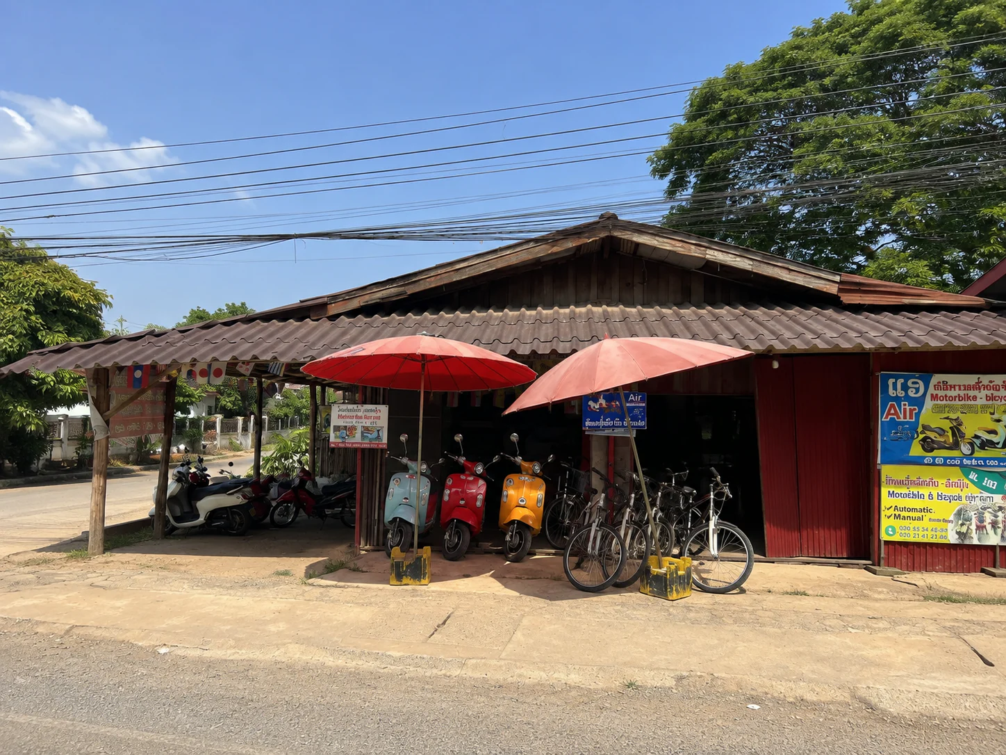
Vang Vieng Karst Cycling Loop
Countryside ride linked to a stay in Vang Vieng's karst and Nam Song landscape.

Wat Kang
Buddhist temple linked to a stay in Vang Vieng's karst and Nam Song landscape.

Vang Vieng Morning Market
Local market walk linked to a stay in Vang Vieng's karst and Nam Song landscape.

Pha Tang Mountain
Karst landscape linked to a stay in Vang Vieng's karst and Nam Song landscape.

Vientiane
Laos · Destination field guide
A low-rise capital where national monuments, old temples, contemporary history and everyday city life spread along and beyond the Mekong.

Luang Prabang
Laos · Destination field guide
A living heritage town where monasteries, markets, royal history and everyday life still share the same narrow peninsula.